


Discover what to expect as a cartographer or spatial scientist in Australia’s growing GIS and mapping industry – salaries, job outlook, key employers, skills in demand, and pathways for skilled migration.
Introduction
Australia faces a critical geospatial skills shortage, with over 70 % of employers reporting difficulty finding qualified spatial scientists and cartographers. The rapid expansion of digital twins, location intelligence, and national spatial data infrastructure has created strong demand across government, mining, defence, environmental management, and urban planning. This guide explains daily roles, Australian cartographer salary ranges, job outlook, major employers, and how overseas professionals can enter this rewarding field.
The Australian Geospatial Industry Landscape
Australia’s geospatial industry contributes more than A$20 billion annually to the economy and grows faster than most sectors. Government agencies such as Geoscience Australia and PSMA Australia (Geoscape) maintain the National Map and Foundation Spatial Data Framework. Private firms and consultancies deliver location intelligence and digital twin projects for cities and infrastructure.
Key growth drivers include:
– National rollout of digital twins (Digital Twin Australia initiatives)
– Mining and resources sector reliance on LiDAR Australia and remote sensing
– Climate adaptation and environmental GIS Australia projects
– Defence geospatial jobs within the Australian Defence Force (ADF)
– Smart cities and urban planning cartography
The Surveying & Spatial Sciences Institute (SSSI) reports consistent double-digit annual growth in GIS careers Australia over the past five years.
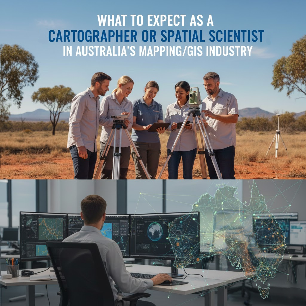
Daily Roles and Responsibilities
Cartographers and spatial scientists wear many hats depending on their employer.
Government and agency roles (Geoscience Australia, state mapping authorities) focus on maintaining authoritative datasets, producing the National Map, and supporting emergency services with real-time spatial data.
Mining GIS jobs Australia involve 3D modelling, volumetric analysis, rehabilitation planning, and drone-based LiDAR processing.
Environmental GIS professionals map biodiversity corridors, monitor bushfire risk, and model sea-level rise impacts.
Defence and intelligence positions require high-level security clearance and expertise in real-time geospatial intelligence.
Urban planners and local government staff use Esri ArcGIS Australia and QGIS for master planning, transport modelling, and community consultation maps.
Most roles blend office-based analysis with occasional fieldwork, especially in remote sensing Australia projects.
Salary Expectations and Job Outlook
Australian cartographer salary and spatial scientist remuneration remain competitive.
– Entry-level (0–3 years): A$75,000 – A$95,000
– Mid-level (4–8 years): A$100,000 – A$135,000
– Senior/lead spatial scientist: A$140,000 – A$190,000+
– Mining fly-in fly-out roles frequently exceed A$200,000 with allowances
The cartographer job outlook Australia stays positive. Jobs rated the occupation “future growth – strong” in the latest Australian Government Labour Market Insights, with thousands of new positions projected by 2026. Geospatial skills shortage Australia continues to drive above-average wage growth.
Work-Life Balance and Remote Opportunities
Many GIS professional roles now offer genuine remote work cartography Australia options, particularly in data processing and web mapping. Government and consulting positions frequently provide 9-day fortnights or flexible hours.
Mining and defence roles may involve site visits or rostered work, yet they compensate with higher salaries and additional leave. Overall, the industry scores well for work-life balance GIS jobs compared with other STEM fields.
Qualifications and Certification Pathways
Australian employers recognise both local and international qualifications.
Essential qualifications include:
– Bachelor or Master in Spatial Science, Geomatics, or GIS
– Proficiency in Esri ArcGIS Australia (most common) and/or QGIS
– Experience with Python, SQL, and cloud platforms increasingly expected
Professional recognition through the SSSI Certified Practising Spatial Scientist (CPSS) scheme adds significant value for migration points and career progression. Many overseas degrees receive positive skills assessments from VETASSESS for migration purposes.
Major Employers and Hotspots
Top hiring organisations include:
– Geoscience Australia (Canberra)
– PSMA Australia / Geoscape
– State land information authorities (Landgate WA, DELWP Victoria, etc.)
– Major mining companies (BHP, Rio Tinto, Fortescue)
– Defence contractors (Boeing Defence Australia, Leidos)
– Consultancies (NGIS, Esri Australia, Aerometrex)
Canberra, Perth, Brisbane, and Melbourne host the highest concentration of roles.
Conclusion
Australia’s mapping and GIS industry offers stable, well-paid, and intellectually rewarding careers for cartographers and spatial scientists. Strong demand, competitive salaries, and flexible work arrangements make it an attractive destination for both local and international professionals. If you hold relevant qualifications and experience, now presents an ideal time to explore opportunities in this dynamic field.