


Discover land development and regional project jobs for surveyors and spatial scientists. Learn key skills, roles, and immigration pathways for these in-demand careers.
Introduction
As urban and regional landscapes evolve, surveyors and spatial scientists play a critical role in shaping sustainable land development and regional projects. With global urbanization projected to reach 68% by 2050, according to the United Nations, these professionals are in high demand for their expertise in geospatial analysis and land management. This article explores the roles, skills, and immigration opportunities for surveyors and spatial scientists seeking rewarding careers in land development and regional initiatives worldwide.
The Role of Surveyors in Land Development
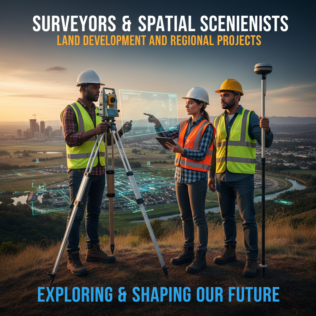
Surveyors are essential in land development, providing precise measurements and mapping for construction, infrastructure, and property boundaries. They conduct land surveying and cadastral surveying to establish legal boundaries and support urban planning. Using advanced surveying technology, surveyors create topographic mapping to guide developers in designing safe, efficient projects. Their work ensures compliance with zoning laws and environmental regulations, making them vital to urban development. In regional projects, surveyors collaborate with engineers and planners to lay the groundwork for roads, utilities, and sustainable communities, ensuring accuracy and efficiency.
Spatial Scientists: Driving Regional Projects with Geospatial Technology
Spatial scientists leverage geospatial technology and GIS (Geographic Information Systems) to analyze spatial data for regional development. They use remote sensing and spatial data analysis to assess land use, environmental impacts, and infrastructure needs. Their expertise informs land use planning, helping governments and developers make data-driven decisions. In regional projects, spatial scientists map resources, monitor environmental changes, and support sustainable development. Their ability to interpret complex datasets makes them indispensable in large-scale initiatives, from rural infrastructure to urban expansion, ensuring projects align with long-term goals.
Key Skills and Tools for Success
Success in land development and regional projects requires a blend of technical and analytical skills. Surveyors need proficiency in geodetic surveying, construction surveying, and property boundary mapping, often using tools like total stations and GPS. Spatial scientists must master GIS, remote sensing, and spatial mapping to process complex datasets. Both roles demand strong problem-solving and communication skills to collaborate with multidisciplinary teams. Familiarity with environmental surveying and urban planning is increasingly important, as sustainable development becomes a priority. Continuous learning in surveying technology and geospatial analysis keeps professionals competitive in these fields.
Immigration Opportunities for Surveyors and Spatial Scientists
Many countries, including Canada, Australia, and the UK, actively seek surveyors and spatial scientists for land development and regional projects. Programs like Canada’s Express Entry and Australia’s SkillSelect prioritize skilled workers in these fields due to shortages in urban planning and infrastructure development. For instance, Australia’s Regional Sponsored Migration Scheme targets professionals for regional projects, offering pathways to permanent residency. Surveyors and spatial scientists can leverage their expertise in geospatial technology and land management to meet visa eligibility criteria, securing opportunities in growing urban and regional markets.
Challenges in Land Development and Regional Projects
Land development and regional projects often face challenges like regulatory complexity, environmental concerns, and technological integration. Surveyors may encounter disputes over property boundaries, requiring precise cadastral surveying to resolve conflicts. Spatial scientists must navigate large datasets to ensure accurate spatial planning, often under tight deadlines. Solutions include adopting advanced geospatial technology and collaborating with local authorities to align with regulations. Continuous training in GIS and environmental surveying helps professionals address these challenges, ensuring projects are sustainable and compliant with regional development goals.
The Future of Surveying and Spatial Science
The future of surveying and spatial science is bright, driven by advancements in technology and global demand for sustainable development. Drones, LiDAR, and AI-powered GIS are transforming how surveyors and spatial scientists work, enabling faster and more accurate data collection. Urban development projects in cities like Dubai or Singapore increasingly rely on topographic mapping and geospatial analysis for smart city initiatives. Regional projects, such as renewable energy farms or transportation networks, also demand these skills. Professionals who stay updated with surveying technology and spatial data analysis will thrive in these dynamic fields.
Conclusion
Surveyors and spatial scientists are pivotal in shaping land development and regional projects, driving sustainable growth through expertise in geospatial analysis and land management. With global demand for these skills rising, immigration pathways offer exciting opportunities to work in vibrant urban and regional settings. Explore visa programs and career options today to contribute to innovative projects that transform communities worldwide.